AI solutions focused on spatial information
At GeoAI we build AI solutions that automatically leverage information from spatial data. GeoAI helps you recognise — from data to information.
Together with governments, nature organisations and technology partners










From data to information intelligence
Huge amounts of data are produced by sensors such as cameras and laser scanners — handheld or mounted on drones, aircraft, vehicles, boats and satellites. Interpreting all of it unambiguously and converting it into quality information has become impossible for individuals.
Geospatial AI — or GeoAI — is a specialisation within artificial intelligence that efficiently processes sensor data into spatial information to support operations and decision-making. Combined with GIS, the extracted information is seamlessly visualised on interactive maps: a powerful support tool.
- Capture dataDrone, aerial photo, satellite, laser scanner or 360° camera.
- AI analysisTrained models recognise objects, damage and change.
- Information on the mapResults geographically positioned in your GIS or asset management system.
 Object recognition
Change detection
Geopositioning
Smart analyses for a changing environment
From built environment to waterway and meadow — we turn imagery into reliable, usable information.
Construction mutation alerts
Annual change detection using aerial photos to map unlicensed construction for the spatial base registers.
Basic registrationMaintenance surveys of banks
Automatic detection of damage to river and canal banks and the structures that protect them, to facilitate asset management and underpin multi-year maintenance plans.
InfrastructureConservation of meadow birds
Artificial intelligence enables data-driven conservation. GeoDrone quickly analyses large numbers of drone photos to find the smallest nests, often near-invisible to the human eye.
EcologySoftware that makes spatial data speak
 Ecology
GeoDrone
GeoAI developed GeoDrone to enable ecological consultancies and farmers' collectives to drastically increase their field surveying capabilities. Our AI automatically detects meadow bird nests in high-resolution drone imagery and places their exact locations on a map, informing conservation decisions.
Learn more about GeoDrone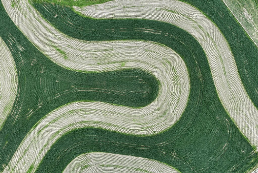 Basic registration
Change detection
The BGT register is a digital map of the current layout of the Netherlands. Our software analyses aerial photos and detects changes to buildings.
Learn more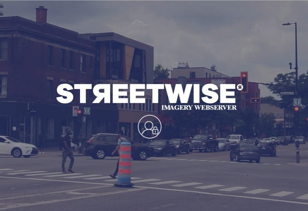 Public space
StreetWise
A powerful platform by Horus and GeoAI that uses AI to automatically detect objects in public space from 360° imagery.
Learn more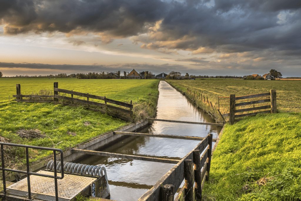 Infrastructure
GeoQuay
GeoAI's geographic AI knowledge combined with oQuay's civil engineering expertise in maintenance, structures and inspections.
Learn more Autodesk plugin
Street Smart
Together with Cyclomedia, GeoAI makes the Street Smart viewer available within AutoCAD, AutoCAD Map 3D and Civil 3D — quick and easy access to all Cyclorama data.
Learn more about Street Smart Coming soon
GeoForge
With GeoForge we build custom GeoAI portals for organisations that want to work smarter with spatial data — powerful standard GIS and AI components combined with tailored workflows.
More about GeoForge soonAnalytics — PowerBI visuals
Free Image Viewer and Map Viewer for Microsoft PowerBI, open source on GitHub.
Would you like to strengthen our team?
Geo-ICT developer
Senior C# and Java geo developer in a project team delivering innovative data-driven solutions.
See moreInternship or thesis
Automatic image recognition combined with point clouds and deep learning. Lots of responsibility and freedom.
See moreOpen vacancy
Can't find the right vacancy? Tell us about your vision and why you want to work at GeoAI.
See moreCurious what GeoAI can do for your organisation?
Do you have a question or are you curious about our solutions? Get in touch — we are happy to think along.