GeoDrone for meadow birds
GeoDrone enlarges the search area and simplifies nest detection. Using artificial intelligence, bird nests are detected automatically in both colour and thermal imagery — and placed precisely on the map within seconds.
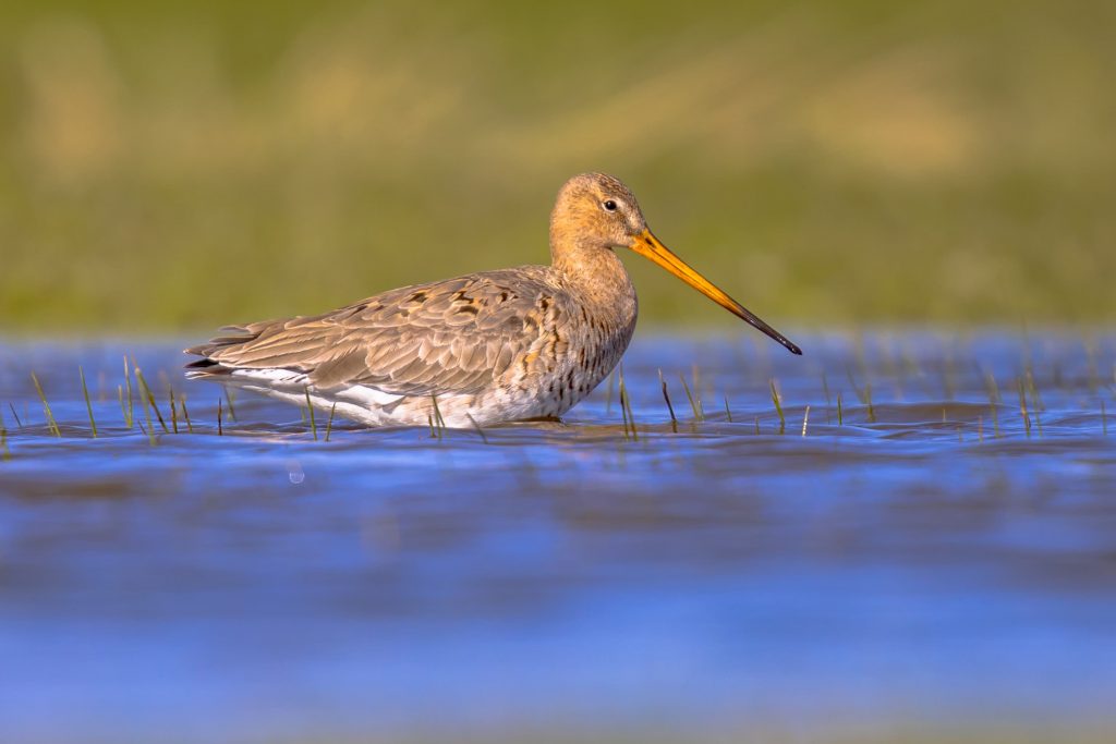 Nest detection · RGB & thermal
Search, position, count and protect large areas — efficiently and easily
Fly
Fields are surveyed by a drone carrying a colour and/or thermal camera.
AI analysis
Trained models automatically detect nests in RGB and thermal images.
On the map
The position where the photo was taken gives the exact location; the nest is on the map within seconds.
Share
The map and positions are shared with the landowner and the national farmland bird monitor.
Why meadow birds need help
Habitat
The Dutch farmland landscape offers suitable habitat for many meadow birds. Every year these birds come to the Netherlands to breed and raise their young.
Unfortunately, breeding success is declining due to loss of suitable habitat, leaving small, concentrated and fragmented populations. These are very vulnerable to increased predation by, for example, foxes, cats, mustelids and birds of prey.
Protection
The most effective protection measures mean a farmer cannot enter the meadow for quite some time. A postponed mowing date gives young birds the chance to hatch and fledge; wetting the meadows increases foraging opportunities.
That is why it matters to give approval as quickly as possible, so the farmer can re-enter the field as soon as there are no active nests left. With drones and thermal imagery, this is now much faster.
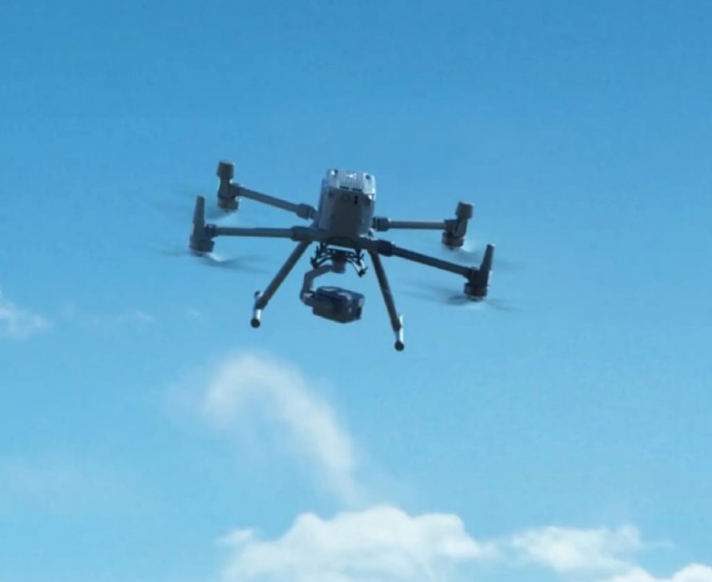
Larger areas, no scent trails
Finding nests with a drone opens up many possibilities. A larger area can be searched than on foot, and people no longer need to come near the nests — so no scent trails lead predators to them. There are, however, some limitations:
- With a thermal camera, searching is only possible in the early morning and late evening: there must be a significant temperature difference between the ground and the brooding bird.
- With colour imagery you can search during the day; nests with eggs are easy to find until the grass largely covers the nest.
- Combining nest detection on colour and thermal imagery makes the difference.
Benefits of GeoDrone
Automated nest detection
GeoDrone uses artificial intelligence. Trained models analyse drone imagery and automatically detect meadow bird nests — in both thermal and colour (RGB) images.
Larger search area
The analysis happens afterwards, so as many areas as possible can be flown during the precious search period.
Easier reporting
GeoDrone is linked to the farmland bird monitor database. Nests found by the AI can be uploaded straight away.
Protect more nests this breeding season?
Discover how GeoDrone helps your collective or nature organisation search large areas efficiently and easily.