Street Smart for AutoCAD, AutoCAD Map and Civil 3D
An interactive viewer for Cyclomedia Street Smart 360° panoramic imagery. Measure distances, digitise objects and visualise data layers in the 360° images — right from AutoCAD.
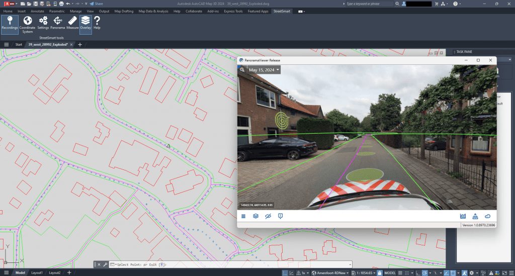 360° Cyclorama imagery in AutoCAD
The real world on your desktop
This plug-in was developed by GeoAI in collaboration with Cyclomedia.
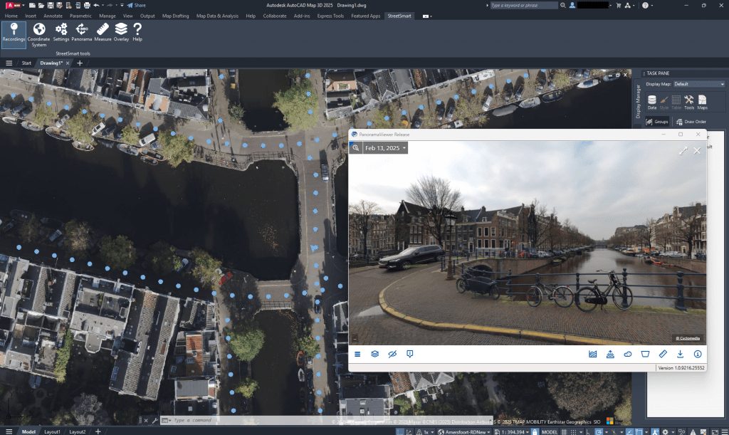
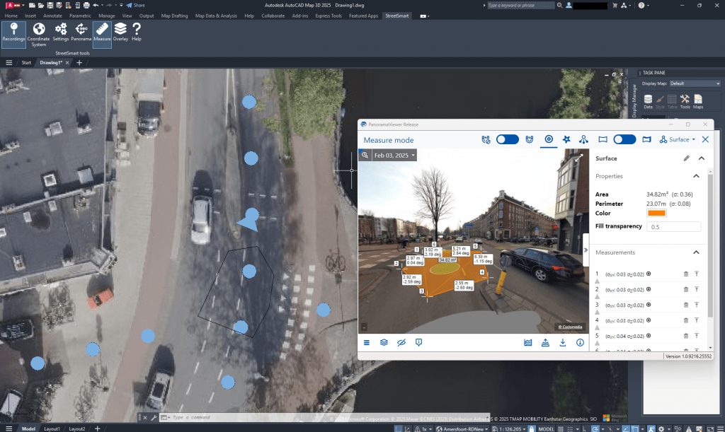
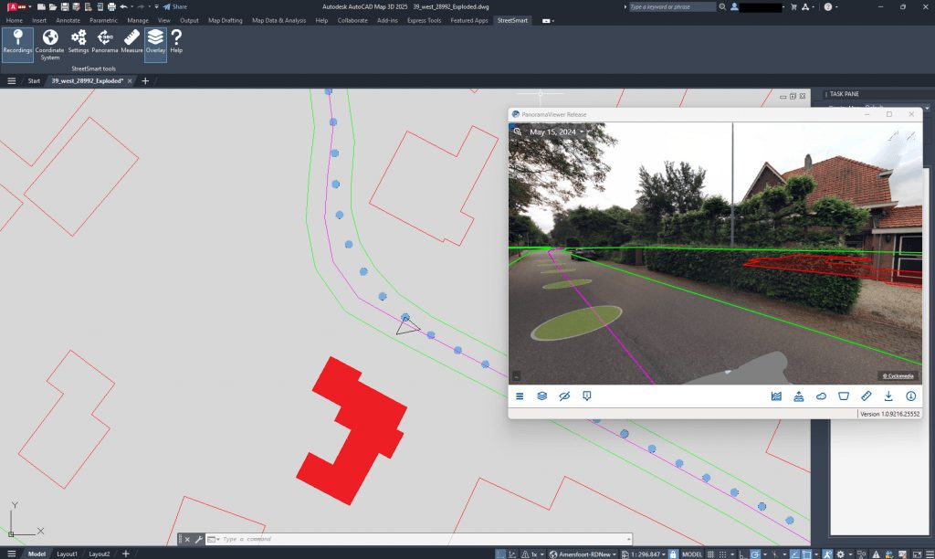
All about the plug-in
AutoCAD Map & Civil 3D plug-in
Quick and easy access to all Cyclorama data, both current and historical — so changes can be detected and developments followed over the years.
The fully integrated plug-in ensures an optimal design and drafting process and gives direct access to spatial data, with the ability to edit geospatial data directly within DWG.
Overlay
Access imagery at any location. The panorama viewer moves independently of AutoCAD, so working across two screens is easy.
Visualise designs in the real world, measure from the photo for inspections, and show CAD data layers — such as reports or third-party objects — as an overlay in the photo.
Free licence
View, measure, digitise and visualise data layers in 360° panoramic photos from the office, at every photo point within the AutoCAD map.
The plug-in is free to use; you do need a Cyclomedia account to access the Street Smart data.
Questions about the Street Smart plug-in?
Need help with installation or use? Our support team is ready to help.