StreetWise AI
StreetWise is an online platform that automatically recognises and records objects in public space using artificial intelligence and 360° photos. Collect, analyse and manage environmental data quickly and efficiently — user-friendly, scalable and highly accurate.
 360° · object recognition
Inspections, mobility analyses and management plans
With StreetWise you can carry out inspections, produce mobility analyses and draw up management plans for public space.
By analysing imagery periodically, changes in the living environment are easy to track. The collected data is easy to export and integrate into existing systems.
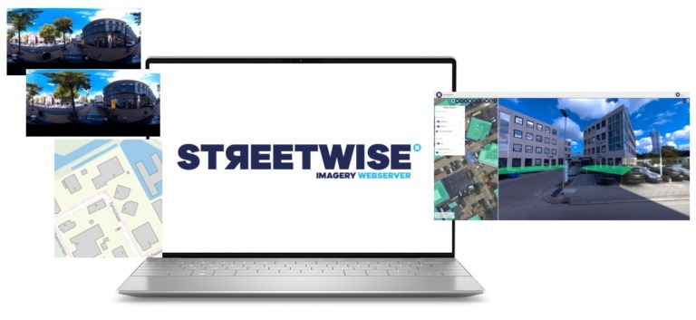
What StreetWise is used for
Public space
A smart way to carry out inspections. Objects such as traffic signs, street lights and green spaces are recognised and recorded automatically — saving time and on-site inspections.
Deviations and defects are quickly found and verified. Periodic, repeatable inspections reveal trends and changes in outdoor space.
Map production
Traditional mapping often cannot keep up with rapid change in our cities. Smart AI algorithms analyse huge amounts of street imagery quickly and accurately.
Road networks, building outlines, traffic signs and other objects are detected almost in real time. Maps are updated continuously: more current, more reliable and lower cost.
Asset management
Traditional inventories are time-consuming and error-prone. With 360° photos and smart algorithms, objects are automatically recognised, categorised and mapped.
From inventory and inspection to analysis, maintenance planning and reporting — with links to existing management systems and GIS. Policy based on current facts rather than assumptions.

StreetWise is a platform by Horus and GeoAI. More information about 360° capture is available on the Horus website.
www.horus.nuManage public space data-driven?
Request a StreetWise demo and discover what 360° imagery and AI can do for your organisation.