PowerBI visuals
PowerBI is the most widely used platform for data analysis. Microsoft lets you develop your own visuals that go beyond what is available as standard. GeoAI's PowerBI visuals are available to everyone and free to download from GitHub.
 Open source · free
Visuals for images and maps
Free to download without support rights. Want to know more, need help with reports, your own visual or a supported version? Get in touch.
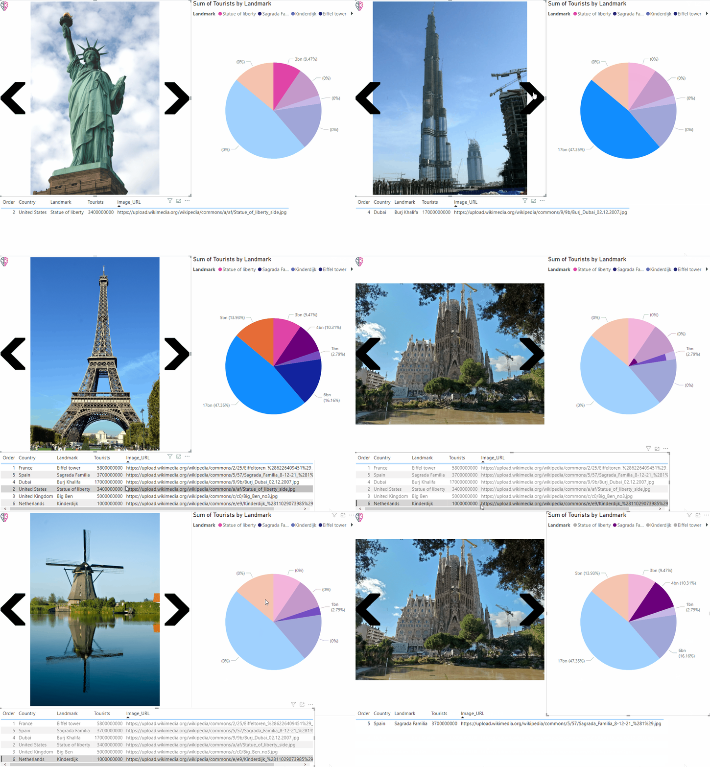
Image Viewer
An easy-to-use PowerBI visual for browsing images with navigation arrows. Step forwards and backwards through a dataset, creating a single selection in the report.
- Order determined by a user-defined data field
- Images displayed from a web URL
- Selection through filtering and through items in other visuals
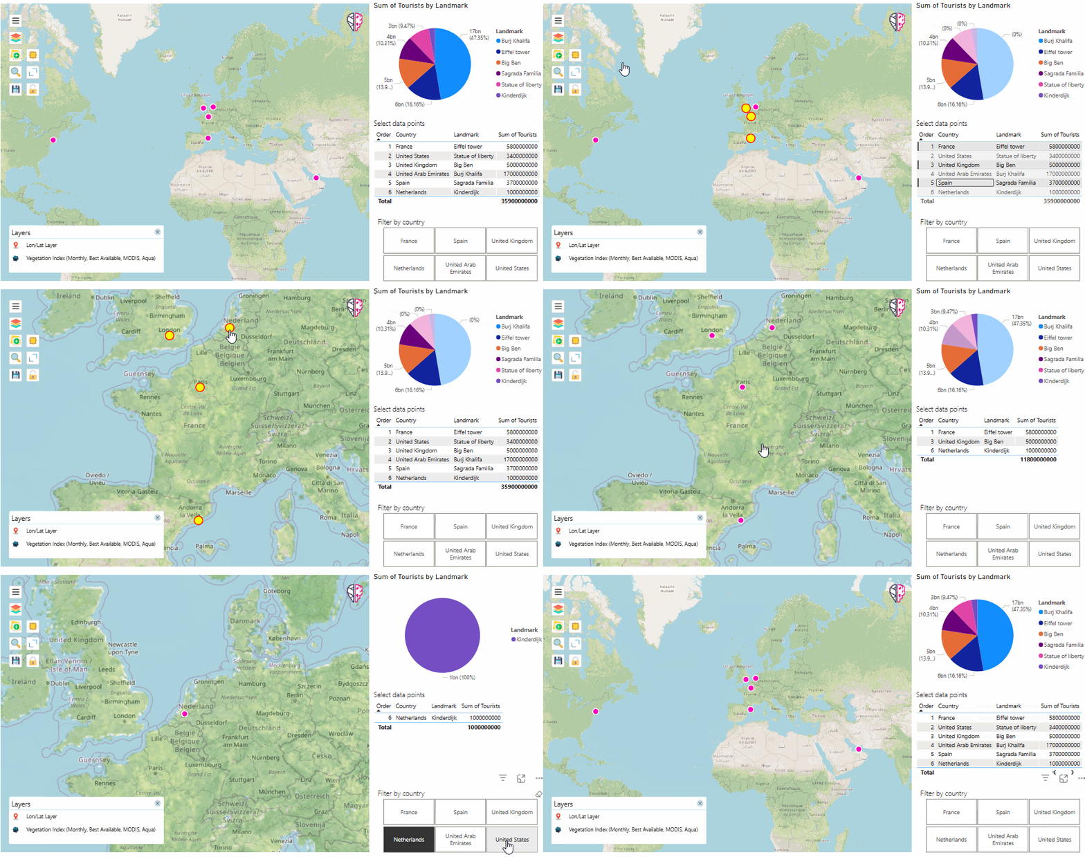
Map Viewer
Our Map Viewer brings the power of a highly configurable map to your PowerBI report. Show locations on a base map of your choice and enrich your map with extra information.
- Add Web Mapping Service (WMS) layers
- Library of your favourite WMS endpoints
- Layer style and map extent are saved in the report
Need help with PowerBI?
Need help creating reports, want your own visual built, or need a supported version? Get in touch.