Change detection for an ever-changing environment
The Dutch Large-Scale Topography Register (BGT) is a digital map of the current layout of the Netherlands. Buildings, roads, water, railways and green areas are recorded unambiguously. GeoAI optimises its maintenance with artificial intelligence.
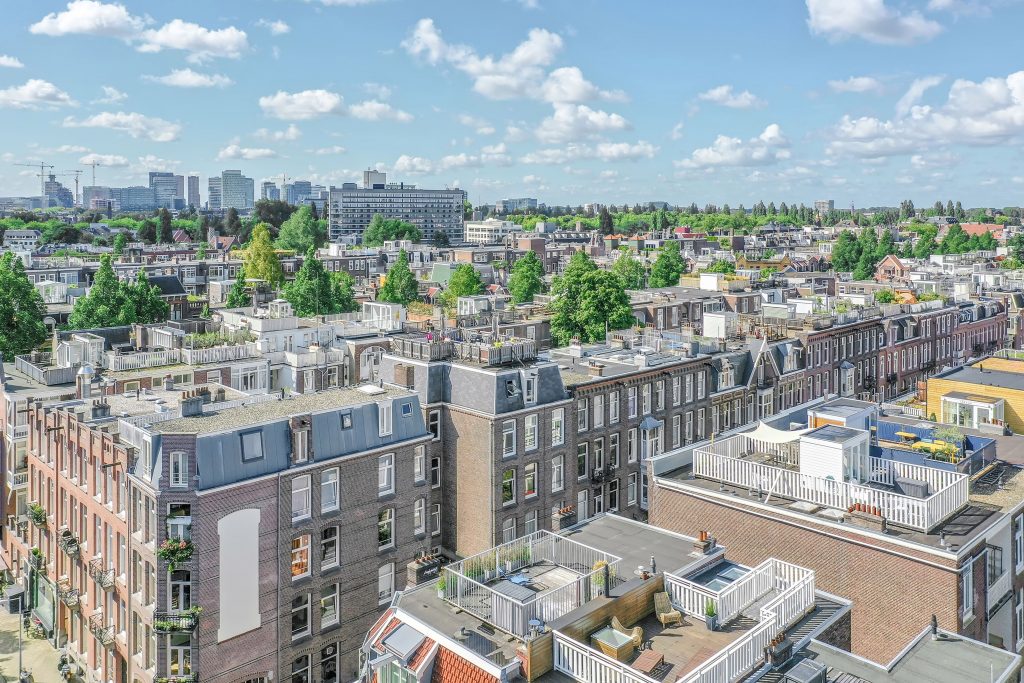 Photo-vector comparison
From aerial photo to processed change
Maintenance
To keep the BGT current, aerial surveys are flown every year. Changes are then flagged and processed manually from the imagery. This annual comparison by the register holders is error-prone and labour-intensive.
Photo-vector comparison of buildings
Using AI, we efficiently compare true orthophotos with the BGT vector data. Changes are flagged as mutations with a point object. Detection of solar panels, trees, wind turbines and dormers is also possible.
Mapping
Accurate mapping is still a manual specialism. To process changes in the national facility, we have partnered with VGI-support. We are happy to explain the process.
Benefits of BGT change detection
True orthophotos, fast
National orthophotos take considerable time to produce. Depending on the size of the area, GeoAI delivers true orthophotos within a week as the basis for change detection.
Less manual work
Processing in the national facility happens faster and the register becomes more current.
Accurate changes
92% of changes are found. Incorrect detections are fed back iteratively so the model learns from its mistakes.
Up-to-date elevation model
Alongside true orthophotos we deliver the elevation model, where the national AHN lags several years behind.
Keep the BGT up to date faster?
We are happy to walk you through the process from change detection to mapping — together with our partner VGI-support.