Street Smart
Street Smart for AutoCAD, AutoCAD MAP & Civil3D

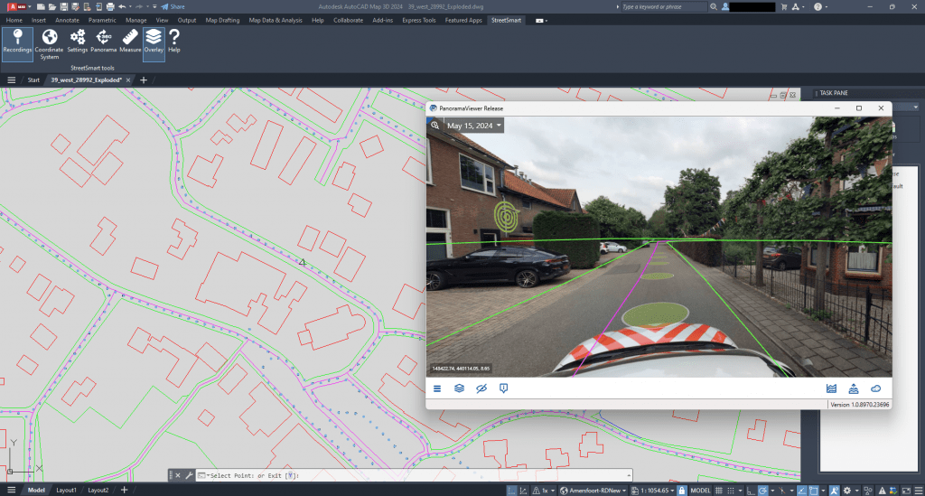
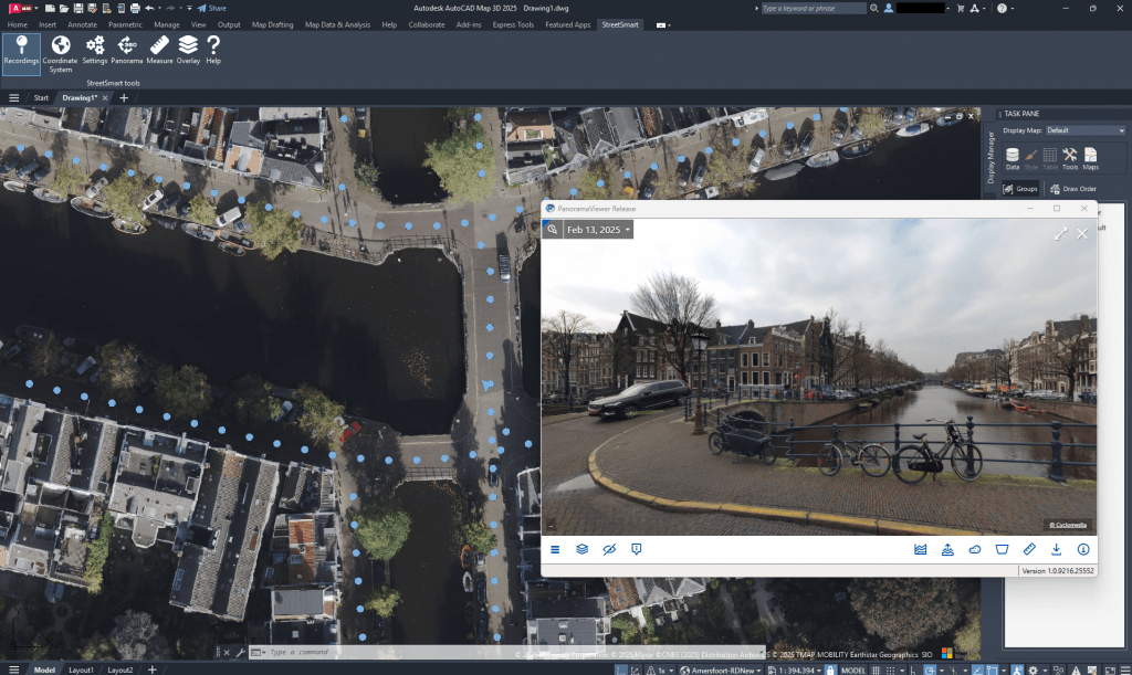
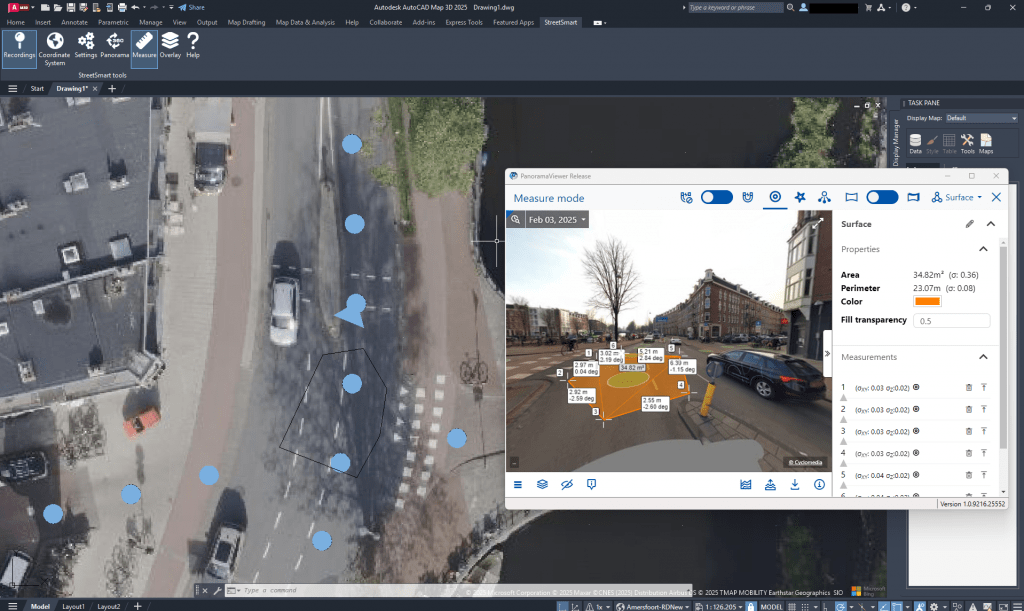
Street Smart for AutoCAD is an interactive viewer for the Cyclomedia Street Smart 360° panoramic images and allows you to measure distances, digitize objects and visualize data layers in the 360° images. The interactive viewer plugin provides access to a digital version of the environment with an extensive set of functionalities for data processing.
The plug-in was developed by GeoAI in collaboration with Cyclomedia.
The plugin is compatible with AutoCAD (Base/Plain), AutoCAD Map and Civil 3D versions 2024, 2025 and 2026 and can be downloaded via the link below.
Documentation about the plug-in, including installation instructions and frequently asked questions, can be found by clicking the link below.

Topics
AutoCAD map & Civil 3D plugin
The user-friendly interface gives you quick and easy access to all Cyclorama data. This includes both current and historical images, allowing changes to be detected and developments to be followed over the years. The plugin fully integrated into AutoCAD ensures an optimal design and drawing process. The toolset is included with standard AutoCAD and provides the combination of CAD and GIS data to support planning, design and management. This provides direct access to spatial data such as the 360° panoramic photo points and the ability to edit geospatial data directly within DWG.
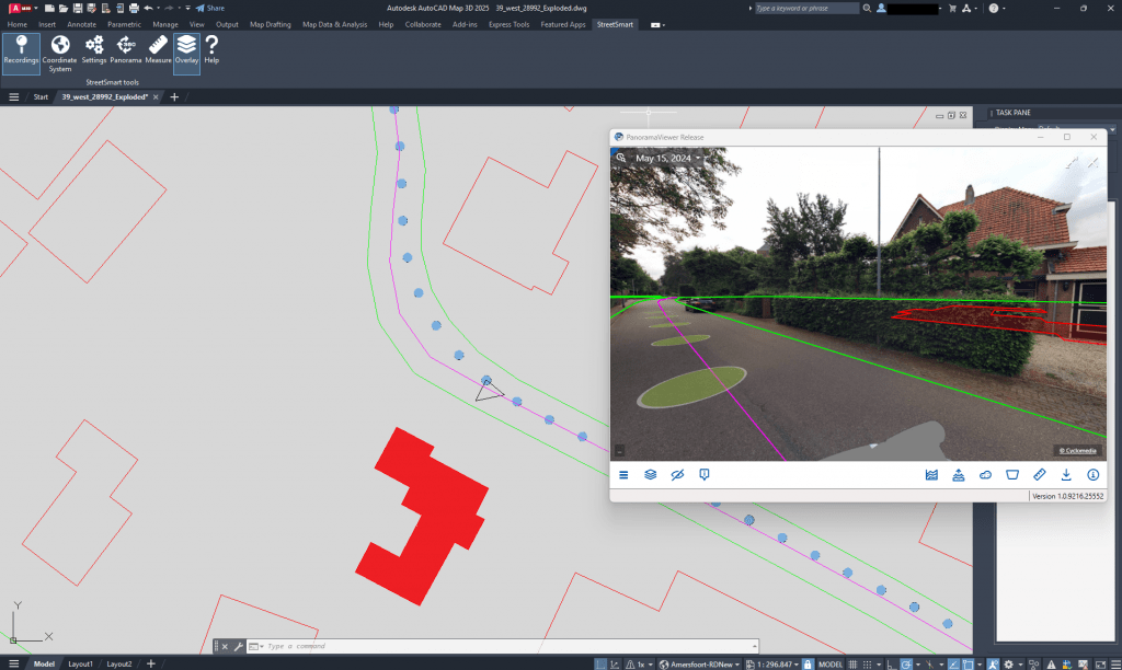
Overlay
Street Smart for AutoCAD provides access to the images at any available location. In these times of remote working, it gives the users a way to bring the real world to their desktop. The panorama viewer moves independently of AutoCAD as an application, making it easy to work on two screens. As an engineer, designs can be visualized directly in the real world, measurements can be taken for inspection and from the photo. In addition, it is possible to present CAD data layers such as notifications or third-party objects as an overlay within the photo. This allows DWG files to be easily shared and provides direct insight into the data on current and accurately acquired 360 degree panoramic images.
Licence
Thanks to the combination of AutoCAD and Street Smart, it is possible to view, measure, digitize and visualize data layers in 360 degree panoramic images from the office at any photo point within AutoCAD map.
The Plug-in is free of use, but you need a Cyclomedia account to access the Street Smart data.


