Ecology
GeoDrone for meadow birds
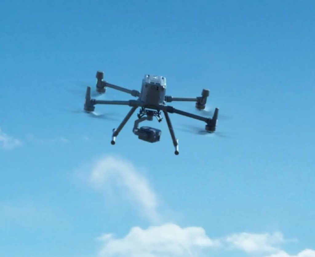
Geodrone is the solution for simplifying nest detection over a large area. By using artificial intelligence to analyze drone images, bird nests can be automatically detected on both colour and thermal images. The exact position of the nest is digitised and placed on a map within a few seconds. The map and nest positions can easily be shared with the landowner and the National Farmland Bird Monitor database with just a few clicks. Search, position, count and protect a large area efficiently and easily.
Topics
Habitat
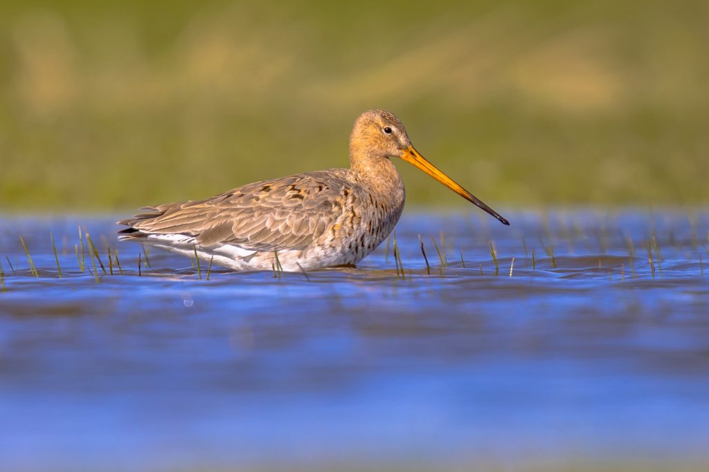
Every year numerous species of meadow birds use the Dutch farm landscape to nest and rear their young. Unfortunately, the breeding success of these meadow birds is declining due to the loss of suitable habitat, resulting in small, concentrated and fragmented meadow bird populations in the Netherlands. These small populations are very vulnerable to increased predation pressure from, for example, foxes, cats, mustelids and birds of prey.
Protection
The most effective measures for the protection of meadow birds prevent farmers entering the meadow for quite some time. Measures such as a postponed mowing date give the young meadow birds the chance to hatch and fledge, and foraging opportunities are increased by wetting the meadows. These measures require a lot from farmers, which is why it is important to give approval for the farmer to re-enter his pasture as soon as there are no longer any active nests within the plots. Nowadays it is possible to scan plots with drones to find the nests of meadow birds based on colour or thermal images.
Nest detection
The benefits of using drones for surveying include covering larger areas in less time compared to on-foot surveys. Additionally, drones reduce the need for people to approach nests, ensuring that meadow birds remain undisturbed and scent trails leading to nests are avoided. However, there are some limitations to detection with a drone:
- With a thermal camera, surveys are only possible in the early morning and late evening, because there must be a significant temperature difference between the ground and the nesting bird.
- Unobstructed nests with eggs can easily be detected in the images during the day. However, nests hidden by long grass or other vegetation may be overlooked by the detection algorithm.
- The combination of colour images and thermal images provides the most reliable survey results.
GeoDrone for meadow birds
Advantages of Geodrone
GeoDrone uses artificial intelligence (AI). Models have been trained to analyze drone images and automatically detect meadow bird nests. This applies to both thermal images and colour images (RGB).
The analysis of the drone images with GeoDrone takes place after the survey flights. In this way, flying time is maximised with no interruptions.
GeoDrone has a link with the Boerenlandvogelmonitor database. The meadow bird nests found by the AI can be immediately uploaded to the database.