Het gebruik van drones met hoge resolutie camera’s, satellieten en laserscanners leveren grote hoeveelheid data op. Het eenduidig interpreteren en omzetten naar kwalitatief goede informatie is voor personen onmogelijk geworden. GeoAI helpt herkennen, van data naar informatie.
Geospatial AI of GeoAI is een specialisatie in het werkveld van kunstmatige intelligentie waarbij ruimtelijke data efficiënt wordt verwerkt naar informatie ter ondersteuning van werkzaamheden.
Combineer deze ontwikkelingen met GIS en maak de informatie beschikbaar op de kaart, en er ontstaat een krachtige combinatie.
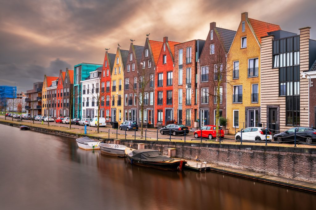
Mutatiedetectie om vergunningvrije bouw in kaart te brengen voor de verwerking in geo-basisregistraties.
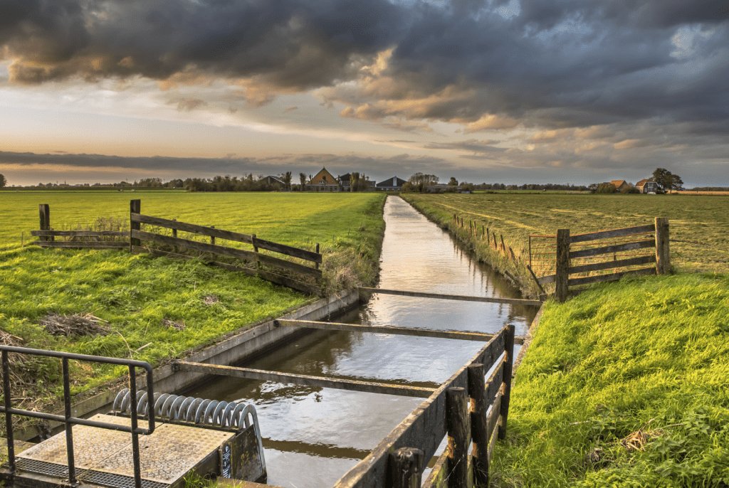
Schadedetectie aan oeverconstructies
Automatische schadedetectie bij beschermde en onbeschermde oevers voor assetmanagement ter onderbouwing van het meerjaren onderhoudsplan MJOP.
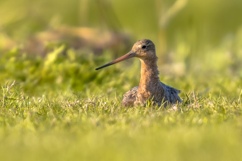
Bescherming voor weidevogels
Kunstmatige intelligentie maakt data-gedreven natuurbescherming mogelijk. GeoDrone analyseert grote aantallen dronefoto’s om het kleinste vogelnest te vinden.
Producten
GeoDrone
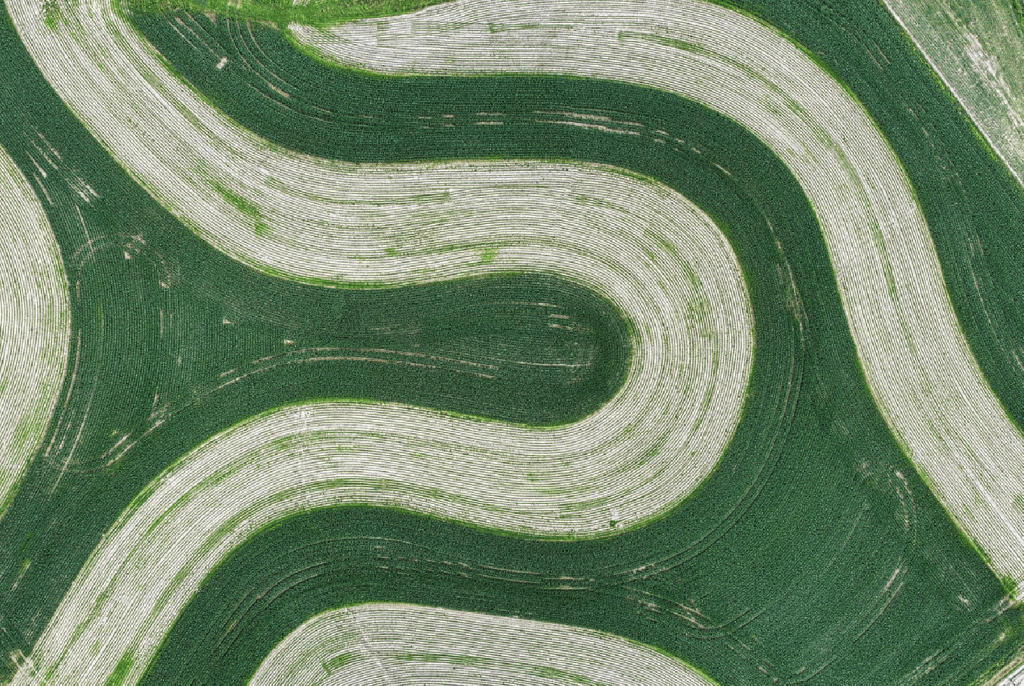
Verschillende natuurorganisaties gebruiken GeoDrone voor het snel en efficiënt analyseren van dronebeelden voor fauna inventarisatie en monitoring. Automatische analyses met kunstmatige intelligentie vergroot het zoekgebied en helpt bij het detecteren van vogelnesten.
De BGT-registratie is een digitale kaart met actuele gegevens over de inrichting van Nederland. GeoAI biedt een oplossing om dit proces te optimaliseren middels kunstmatige intelligentie.
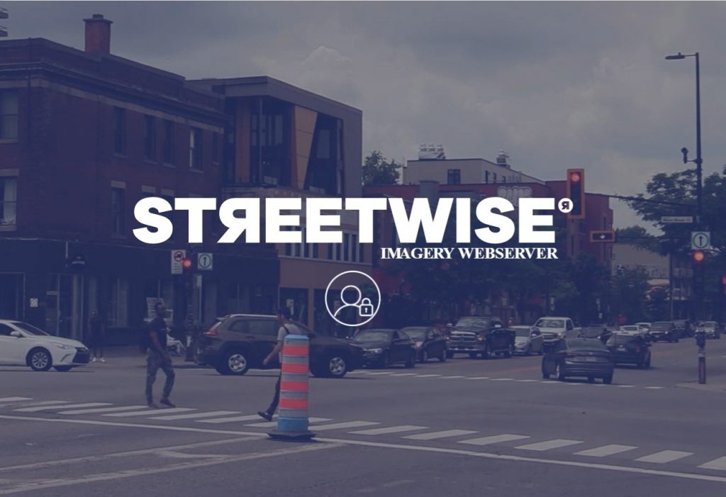
Streetwise is een krachtig platform van Horus en GeoAI dat met behulp van kunstmatige intelligentie automatisch objecten in de openbare ruimte detecteert vanuit 360-gradenbeelden. Zo kunnen gebruikers snel en efficiënt omgevingsdata verzamelen en analyseren.
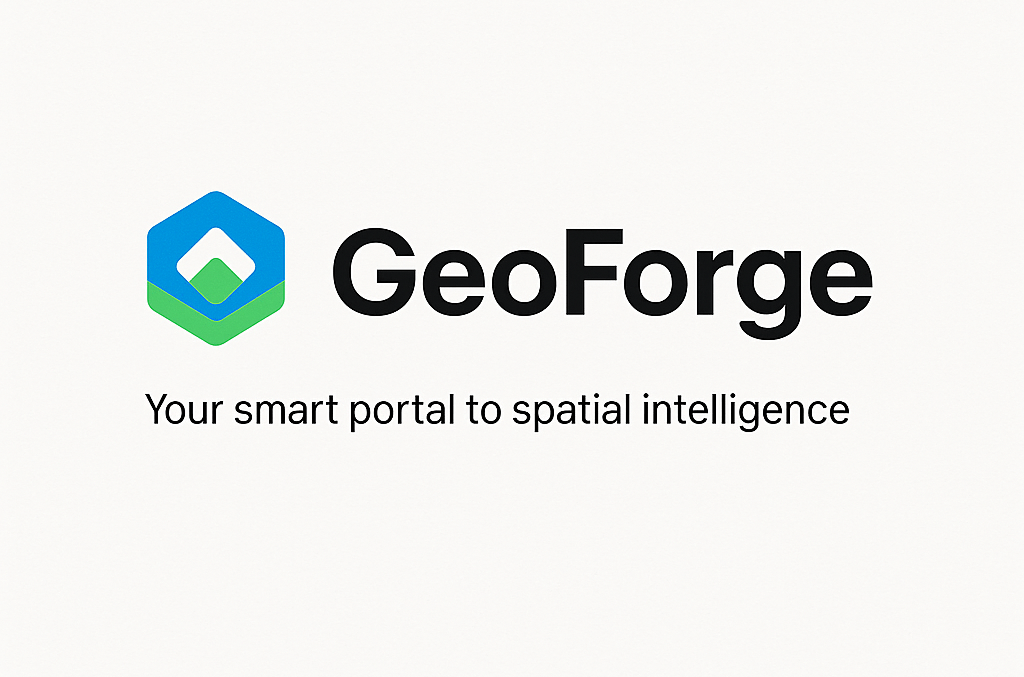
Met GeoForge bouwen we maatwerk GeoAI-portalen voor organisaties die slim willen omgaan met ruimtelijke data. We combineren krachtige standaardcomponenten op het gebied van GIS en AI met op maat gemaakte workflows, afgestemd op jou.
GeoAI versterkt haar geografische kennis door middel van kunstmatige intelligentie en OQuay heeft civieltechnische kennis in huis op het gebied van schades, constructies en inspecties. Combineer dit en maak kennis met dé oplossing; GeoQuay.
Samen met Cyclomedia maakt GeoAI de Street Smart viewer binnen Autodesk, AutoCAD, AutoCAD Map 3D en Civil3D beschikbaar. Met de gebruikersvriendelijke interface heb je snel en gemakkelijk toegang tot alle Cyclorama data.