Basic registration
Change detection, an ever-changing environment
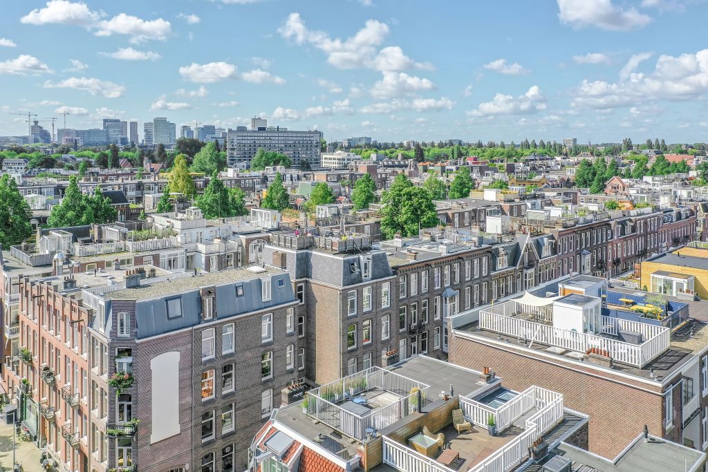
The BGT registry is a digital map with current data on the organization of the Netherlands. For years it has been an important basis for mapping the population composition, presenting plans for renewal and linking geographical information sources. In the Key Register of Large-Scale Topography (BGT), objects such as buildings, roads, water, railway lines and greenery are recorded in an unambiguous manner.
GeoAI offers a solution to optimize the maintenance of this service with artificial intelligence. Our software analyses aerial photos and detects mutations to existing buildings. This information is used to determine unlicensed constructions.
Topics
Maintain
The BGT map is kept current through annual updates.
To maintain this digital map, annual aerial photography flights are conducted. Based on the captured images, manual revisions are identified and processed with the aim of keeping the BGT registration up to date. This comparison process is carried out annually by data custodians and is prone to errors and labor-intensive.
Photo-vector comparison of buildings
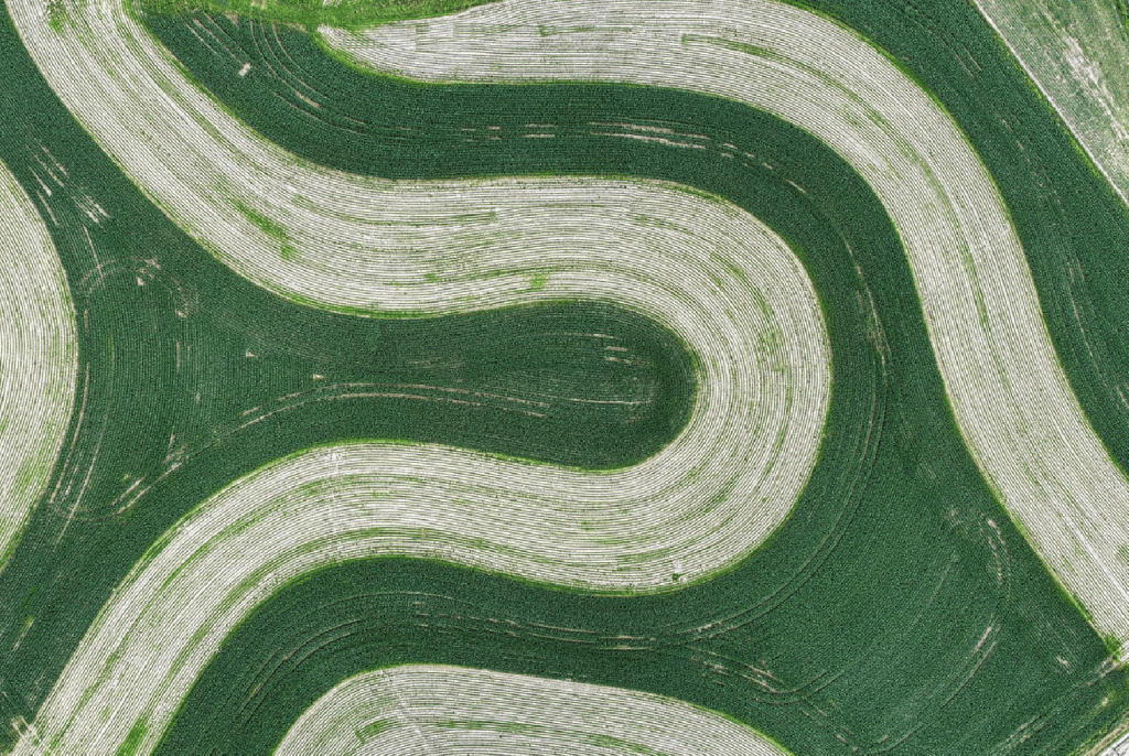
We can efficiently perform a photo-vector comparison using artificial intelligence. The true ortho-images are interpreted and compared with the BGT vector data. The resulting changes are identified as mutations by pinpointing them as point objects. In addition to delivering building mutations, detection of other objects such as solar panels, trees, wind turbines, and dormer windows is also possible.
Mapping
Accurate mapping remains a manual specialty. We have entered into a partnership with VGI-support for processing mutations in the national infrastructure. We would be delighted to provide an explanation of this process.
Basisregistratie in de omgeving
The benefits of BGT mutation detection
The production of national orthophotos takes a considerable amount of time. Depending on the size of the area, GeoAI delivers the true ortho-images as a basis for mutation detection within a week.
Less manual work, leading to faster processing in the national infrastructure and improved currency.
Independent tests show that 92% of mutations are found. The detections that are incorrect are resubmitted in an iterative process so that the AI model learns from the errors.
In addition to the true ortho-images, the elevation model of the area is delivered where the General Height Map of the Netherlands (AHN) lags behind by a number of years.